Lawrence avoids worst of winter storm, but rest of weekend will be frigid
Lawrence and Douglas County dodged the worst of the latest winter storm to blow through northeast Kansas, but Saturday morning did bring frigid temperatures.
Sarah Teefey, a meteorologist with the Topeka National Weather Service office, said reported snowfall totals in Lawrence mostly ranged from half an inch to an inch, but there was a report of 3 inches near 15th Street and Haskell Avenue. That could have been the result of the light snow drifting in the 20 to 30 mph winds, she said. The heaviest snowfall in the region, about 3 inches, fell west of Topeka, she said.
The storm front brought single-digit temperatures Saturday morning, and afternoon highs struggled to reach the high teens, Teefey said. The sun did break through the clouds at about 1 p.m. Saturday as the fast-moving storm cleared the region. Teefey said that was the first significant sunshine the Lawrence area had seen in nine days.
The snow didn’t cause any traffic problems, and by Saturday afternoon Lawrence streets were “fine” with a few slushy spots, said Sgt. Kirk Fultz of the Lawrence Police Department.
Teefey said the cold air will stick around through Sunday. The low Sunday morning is expected to be about 7 degrees with a wind chill of 4 below zero. Sunday’s high should be around 27 degrees, she said. Partly cloudy skies are forecast for Sunday, which may allow a good view of the total lunar eclipse from about 10:30 p.m. to shortly before midnight, she said.
Other News
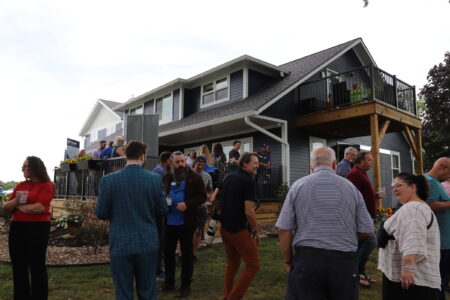
Renovated Elsie’s Place opens as O’Connell Children’s Shelter marks 50th anniversary
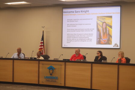
Lawrence school district will soon implement changes to its cellphone, electronic devices policy to comply with state law
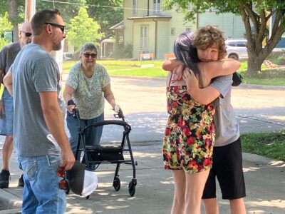
After an especially difficult year of trauma and bullying, a Lawrence teen gets a dream gift
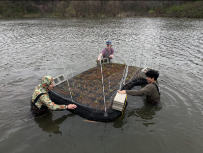
Prairie Park’s artificial floating island is cleaning the water and hosting all kinds of wildlife

Farmland’s legacy: How what used to be the largest farmer-owned co-op left contaminated sites in Lawrence and beyond