Surveyor creates first detailed geological map of Dickinson County
A new full-color geologic map of Dickinson County showing rocks that transition from the Flint Hills to the Smoky Hills, as well as the broad Smoky Hill River valley and adjacent sand hills, is available from the Kansas Geological Survey, based at Kansas University.
The map is the first detailed geological map of the county and an important addition to the Kansas Geological Survey’s decades-long geologic mapping effort, interim director Rex Buchanan said Friday, in an announcement from KU.
Now-retired Kansas Geological Survey geologist James McCauley mapped the county’s surface geology, which is dominated by limestone and shale layers that range in age from Permian to Cretaceous, according to KU.
Surficial geologic maps highlight the type and age of rock layers and unconsolidated sediments found on the surface or immediately below the vegetation and soil. The map also has a three-dimensional quality that accentuates the area’s topography.
Dickinson County is in central Kansas. The county seat is Abilene.
KU

KU Homecoming parade to return to campus after seven-year absence

‘Backyard’ allows even more fans to cheer on Jayhawks

Dole Institute of Politics announces summer lineup celebrating America’s 250th anniversary
KU Hospital Authority says CVS stole nearly $62M in drug savings
The University of Kansas Hospital Authority is suing CVS and its subsidiaries, alleging the mega pharmacy company ...
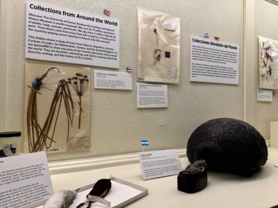
KU’s Natural History Museum’s new exhibition features specimens representing countries coming to KC region for 2026 World Cup