Kansas Geological Survey to measure groundwater levels in west-central Kansas
Next month, the Kansas Geological Survey will assist in an annual effort to determine the levels of groundwater far underneath the Kansas soil.
The publicly available data is used in several ways, including making decisions on local water use. In the west-central part of Kansas, ever since tapping into the underground water source there in the 1960s, use has been high.
“They’ve used well over 50 percent of the water there,” said Brownie Wilson, water level data manager for the KGS.
That’s currently forcing some communities to adjust their water use, he said. Because as water levels go down, it’s more difficult to extract large volumes of water from the ground, he said. While communities may still be able to draw water for residential use, large-scale crop irrigation has to be cut back.
Farmers may switch to crops that need less water, such as to wheat from corn, or they may irrigate smaller areas.
“It’s not your grandfather’s well anymore,” Wilson said.
The amount of available water can vary greatly across the state, he said.
The data is also used by a variety of people. The KGS gets inquiries from producers, tax accountants and engineers.
Crews from the KGS will be near Colby on Jan. 3, Goodland on Jan. 4, Syracuse on Jan. 5 and Liberal on Jan. 6, according to a KU statement, and plan to cover multiple counties in those areas. Working with the Kansas Department of Agriculture’s Division of Water Resources, about 1,400 wells in all will be measured.
The KGS measures at this time of the year because water levels are most likely to stay stable.
Water levels are measured in January when irrigation wells aren’t in use because that is when levels are least likely to fluctuate.
“At this time of year we are also least likely to interfere with activities at or around the wells,” said Brett Wedel, manager of the water-level-data acquisition efforts, in the statement.
This year’s data will likely be available in late February.
State Government
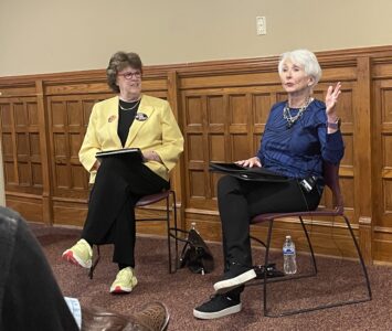
‘If it ain’t broke, don’t fix it’: Retired Judge Sally Pokorny tells residents why she opposes electing Supreme Court justices
KU professors would be limited in how they could present the idea of systemic racism in future classes
State legislators push back against federal energy regulators ending competitive bids
TOPEKA — Two Kansas legislators asked federal energy regulators to ensure competitive bidding occurs on ...
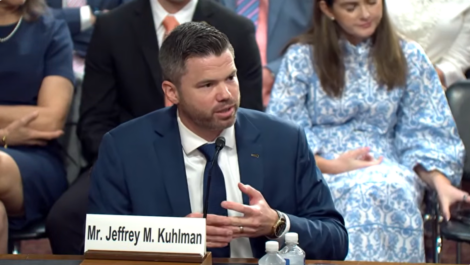
Senate confirms 1st of 3 Kansas nominees to U.S. District Court
Corporate income tax collections falling sharply in Kansas; Republican, Democratic leaders disagree on what it means
TOPEKA — Corporate income tax collections in Kansas have almost halved since last year, while other sources trend ...
Candidate’s campaign manager created website with documents used to attack rival
TOPEKA — Kansas U.S. Senate candidate Patrick Schmidt’s campaign manager left his digital footprint on ...