Winter storm still on track
GOODLAND ? Western Kansas should be bracing for round two.
The National Weather Service is predicting up to a foot of snow in some places as a second massive storm rumbles through eastern Colorado and into Kansas late Thursday. It comes on the heels of a paralyzing storm that hit Denver last week.
Brad Mickelson, a meteorologist for the weather service in Goodland, said the heaviest accumulations will be in the northwest part of the state. The precipitation also could turn into freezing rain if temperatures change only a few degrees.
“A line from McCook, Nebraska, through Colby and Tribune is going to be the difference between major snow and moderate snow,” Mickelson said.
The storm was expected to begin with light rain Thursday evening before turning to snow overnight. It should move into the eastern part of the state, turning to rain, by Sunday.
Mickelson said about 2 inches of snow remain in western Kansas from last week’s storm, which dumped nearly a foot in some places along the Colorado border.
The heavy snowfall shut down Denver’s airport to all flights for 45 hours, leaving about 4,700 holiday travelers stranded the first night. Interstate 70 closed as far east as Salina as hotel rooms and rest stops filled up.
The storm, which was mostly ice by the time it reached central Kansas, created slick road conditions that contributed to one fatality.
Mickelson said the latest storm could again create problems on I-70 in western Kansas. Wind gusts are expected to reach 40 miles per hour today and Saturday, potentially creating whiteout conditions.
The Kansas Department of Transportation was warning those traveling in northwestern Kansas to monitor weather and road conditions. Officials said closures are again possible if conditions become dangerous or lodgings fill.
State Government
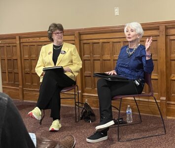
‘If it ain’t broke, don’t fix it’: Retired Judge Sally Pokorny tells residents why she opposes electing Supreme Court justices
KU professors would be limited in how they could present the idea of systemic racism in future classes
State legislators push back against federal energy regulators ending competitive bids
TOPEKA — Two Kansas legislators asked federal energy regulators to ensure competitive bidding occurs on ...
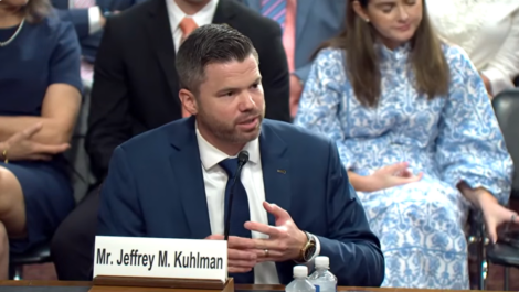
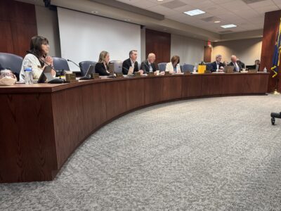
Senate confirms 1st of 3 Kansas nominees to U.S. District Court
Corporate income tax collections falling sharply in Kansas; Republican, Democratic leaders disagree on what it means
TOPEKA — Corporate income tax collections in Kansas have almost halved since last year, while other sources trend ...
Candidate’s campaign manager created website with documents used to attack rival
TOPEKA — Kansas U.S. Senate candidate Patrick Schmidt’s campaign manager left his digital footprint on ...