Severe weather in northeast Kansas was down in 2021; trend may continue into early 2022

photo by: Chris Conde
A cyclist helps clear debris after wind damaged a traffic light around 3 p.m. on Wednesday, Dec. 15, 2021, at the intersection of Ninth and Vermont streets in downtown Lawrence.
Despite the fact that the year is expected to end with a winter storm, 2021 has been relatively quiet when it comes to severe weather.
That also could continue into early 2022, as winter has been mild so far.
Jenni Pittman, a meteorologist for the National Weather Service station in Topeka, said northeast Kansas had a “very low” severe weather season in 2021. She said the forecast area for the Topeka station produced just 23 hail reports and only one tornado, which didn’t even cause observable damage.
Additionally, the most significant severe weather day for the year actually happened just recently, on Dec. 15, she said. That’s when Kansas and other Midwestern states were rocked violently by strong winds and a thunderstorm struck Lawrence, as the Journal-World previously reported.
“It’s been a pretty unusual severe weather season,” Pittman said. “The fall into the early winter has been really dry and above normal temperatures.”
Pittman said it’s not clear why northeast Kansas has seen fewer storms and has had dry seasons, but it could be because of the current La Niña, which is a weather phenomenon that affects North America and is the result of sea surface temperature anomalies in the Pacific Ocean.
Pittman said La Niña tends to cause dryness in the northern plains and drought in Southern states, and Kansas is right in between them.
“Over the last couple of La Niñas we have been seeing a dry fall and early winter,” she said.
That may continue into 2022, as snowstorms seem to be lacking this winter. Pittman said the snow expected this weekend is the first snow accumulation Lawrence will see this winter.
She said the first snowfall in the Lawrence area is usually around the beginning of December. But with no snow in December this winter, the weather is getting closer to the record for the latest measurable snowfall of the season, which is Jan. 21.
“It is pretty unusual to wait until January for your first measurable snowfall,” Pittman said.
For winter as a whole, Pittman said the temperatures have been warmer than usual, which is expected to continue in early January. She said the temperature will be in the 40s and 50s next week after the winter storm passes.
But she said she expects winter to fully arrive shortly after that, with more chilling temperatures and possibly more snow in January and February, which is more of the norm for Kansas.
“Coldest temperatures are usually in the second half of January and highest snowfall is usually in February,” Pittman said. “So winter is still getting ramped up.”
Contact Dylan Lysen
Have a story idea, news or information to share? Contact reporter Dylan Lysen:
- • dlysen@ljworld.com
- • 785-832-6353
- • Twitter: @DylanLysen
- • Read other stories by Dylan
Other News
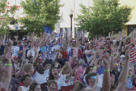
PHOTOS: Lawrence fans cheer on the U.S. in World Cup match against Belgium
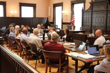
Douglas County budget hearings open with requests to fund youth crisis center, naloxone distribution
Nearly 40 additional funding requests from community agencies head to Douglas County commissioners as budget hearings begin

From fireworks to historic reenactments, here is a round up of some Independence Day events across the region

One ‘party planner’ for America’s Bicentennial in Lawrence reflects on the historic celebrations and how things changed before America 250