Douglas County under tornado watch with severe weather expected this afternoon and evening

photo by: Shawn Valverde/Special to the Journal-World
Downtown Lawrence, looking north, is pictured in this aerial photo from September 2023. South Park is at the bottom of the photo. The Judicial and Law Enforcement Center is the large beige building at right.
Douglas County is under a tornado watch from this afternoon into the evening, as numerous thunderstorms are expected to develop with hazards like large hail, damaging winds and tornadoes possible.
Severe weather is expected to develop on Friday as part of a larger storm system moving across the Plains and Midwest. The setup includes warm, humid air ahead of a strong cold front — known ingredients that help fuel thunderstorms. The biggest threats with these storms are damaging winds, large hail, and the possibility of tornadoes. Some storms could become strong to severe quickly, especially if they organize into clusters or lines.
Storms in Douglas County are expected to arrive in multiple phases today, but the main severe window is late afternoon through the evening. According to the National Weather Service, storms could start developing after about 3 p.m. in the county, with initial thunderstorms possibly becoming severe fairly quickly. The strongest storms are expected to move through from 4 p.m. to 8 p.m. The broader regional setup shows the overall severe weather window running roughly 1 p.m. to 9 p.m., meaning conditions are favorable for storms during that entire stretch.
Nearby schools have let students out early for concerns regarding the anticipated weather. No students had class Friday at Lawrence Public Schools due to a staff professional development day. However, the district announced that all buildings and offices will be closed at 1:30 p.m. Perry-Lecompton and Baldwin City school districts had early-dismissal for its students on Friday.
The NWS has Douglas County under a tornado watch until 9 p.m.
Other News

PHOTOS: Bishop Seabury Academy Class of 2026 Graduation
Public invited to conversation on strengthening family support and well-being

Lawrence school district opens registration for free weekly summer meal kits, offers on-site meals

Go, See, Do: Memorial Day observances, Lawrence Busker Festival, author talks
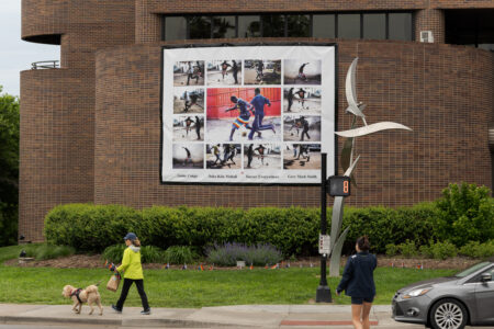
Part of soccer photo collage at Lawrence City Hall was pulled down during storm, but city says it will be back up soon