Economic map to include potential industrial parks
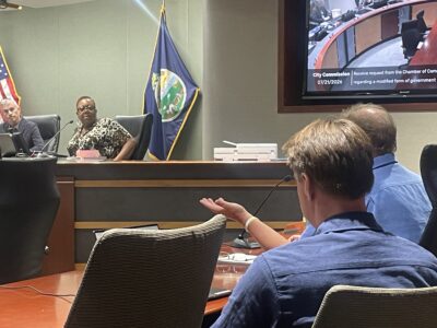
Commissioners agreed to change the economic development chapter of the city’s comprehensive plan.
The changes provide an updated map that shows potential locations for new industrial parks in the future. They included an area near Sixth Street and the South Lawrence Trafficway; the area near the Lawrence Municipal Airport; the area near the Farmland Industries property east of Lawrence; two areas just east of Eudora; an area just west of Baldwin City; and an area near the intersection of highways 56 and 59.
Commissioners, though, did not add the area near the South Lawrence Trafficway and Interstate 70 to the map. Jane Eldredge, a Lawrence attorney who represents an owner of about 150 acres near the intersection, had asked commissioners to discuss that possibility.
Commissioners ultimately said it would be best to hold a full public hearing on the idea to add the location to the map.
Commissioners Mike Amyx and Mike Dever voted against the changes to the economic development chapter. Both commissioners said they were concerned the chapter did not give the commission enough flexibility to consider additional sites if changes happened in the marketplace.
City Government
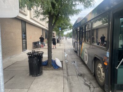
In Lawrence Transit survey, majority say they don’t feel safe at downtown bus stop across from library
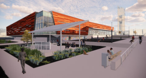
With city leaders’ approval, Lawrence Public Library’s outdoor pavilion should soon be under construction
Sustainability board wants the environment to be ‘an underpinning’ of Lawrence’s next strategic plan

AG Kobach warns Lawrence, 2 other Kansas cities to repeal their bans on conversion therapy within 60 days
Polian thinks Lawrence City Commission can still find consensus on forensic audit of capital projects