Photos: The Kaw is roaring but not flooding in Lawrence
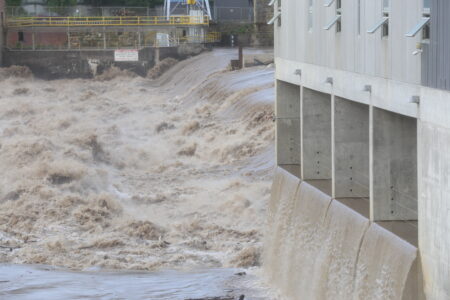
photo by: Chad Lawhorn/Journal-World
Water rushes over the Bowersock Dam on the Kansas River in downtown on June 10, 2026.
Water in the Kansas River in downtown Lawrence is up — and so too is the amount of driftwood and debris flowing through it — but levels are still several feet below even the minor flooding stage.
On Wednesday morning — about 24 hours after a large thunderstorm travelled through the area — the Kansas River elevation was at 15.57 feet, according to the federal government’s National Water Prediction Service. That Wednesday morning reading was about two feet greater than readings prior to the storm.
However, Wednesday’s water levels were still about 2.5 feet below the mark where minor flooding starts occurring along the Lawrence riverfront. Minor flooding begins at about the 18 foot mark, moderate flooding at the 20 foot mark, and major flooding at the 29 foot mark, according to the service, which is a division of the National Oceanic and Atmospheric Administration.
Water levels at area federal reservoirs — which are designed to help prevent flooding on the Kaw and other rivers and streams — are up and starting to use some of their flood storage capacity. Clinton Lake, just west of Lawrence, had water levels about six feet above normal amounts, and was using about 15% of its flood storage capacity, according to data from the U.S. Army Corps of Engineers. Perry Lake, northwest of Lawrence was up about 11 feet from its normal levels, and was using 27% of its flood storage capacity.
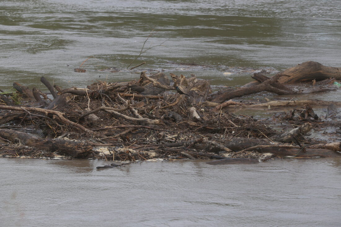
photo by: Chad Lawhorn/Journal-World
A pile of debris floats on the Kansas River in downtown Lawrence on June 10, 2026.
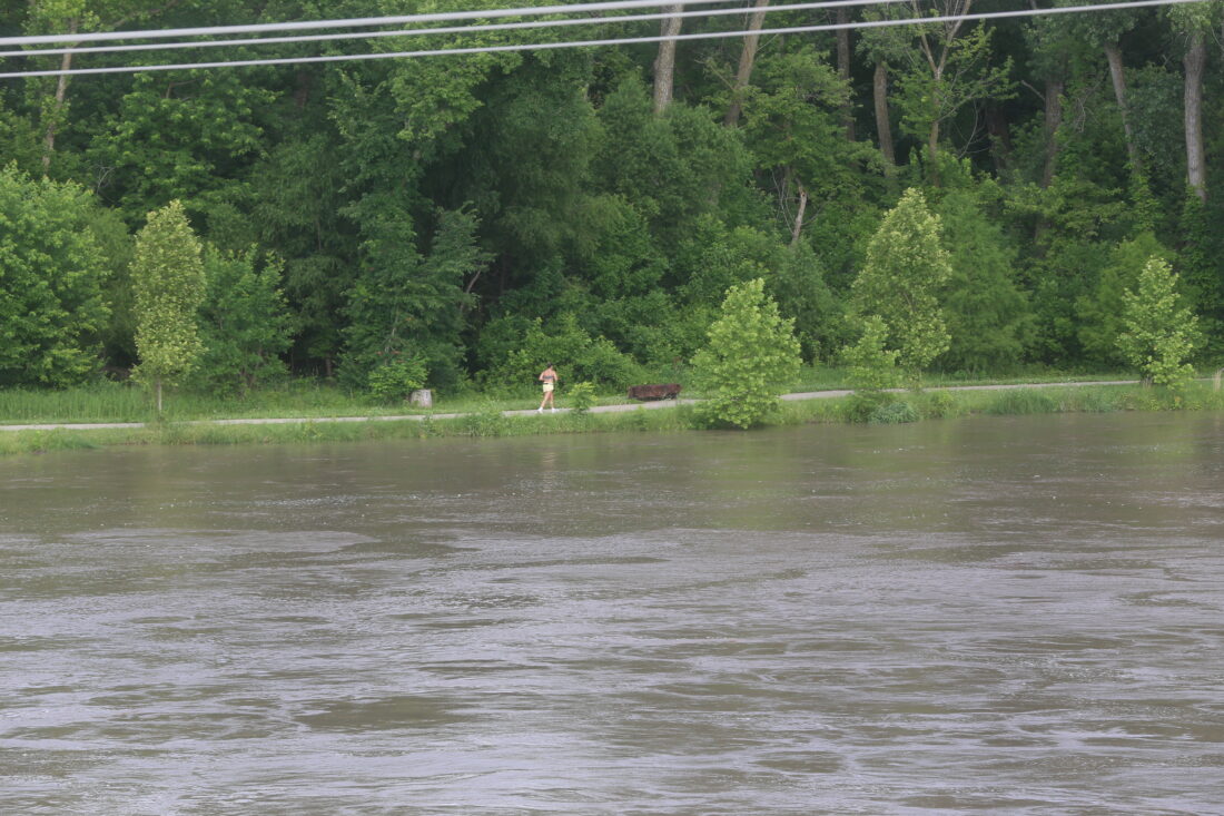
photo by: Chad Lawhorn/Journal-World
A runner travels on a trail along the Kansas River in downtown Lawrence on June 10, 2026.
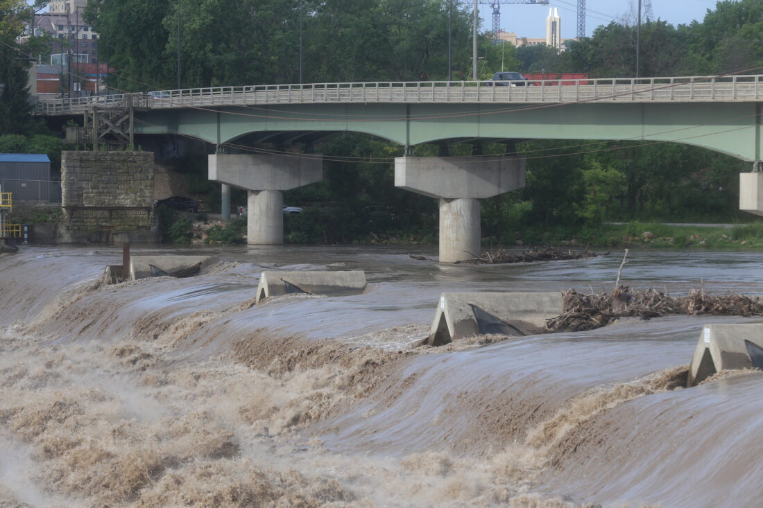
photo by: Chad Lawhorn/Journal-World
Traffic passes over the Kansas River in downtown Lawrence on June 10, 2026.
Other News
Douglas County commissioners discuss solvency funding requests and ongoing support for community partners

Clinton Lake’s blue-green algae status elevated from ‘watch’ to more serious ‘warning’

Beading demonstration at Watkins Museum to highlight the importance of the tradition in Potawatomi culture
Sexual Trauma and Abuse Care Center seeks county funding after state grant delays create budget gap

Go, See, Do: Penguin Project, soccer, markets and more