Fire chief and online assessment tool highlight the risk of wildfires within Lawrence’s city limits
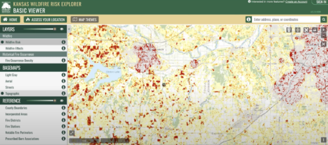
photo by: Kansas Forest Service screengrab
An interactive map generated by the Kansas Wildlife Risk Explorer, displaying wildfire threat assessments for Douglas County and the surrounding area.
Which parts of Douglas County are most at risk of wildfires? According to the Lawrence-Douglas County fire chief and a new statewide tool, some of the riskiest places might be in Lawrence’s city limits.
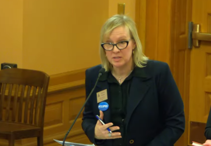
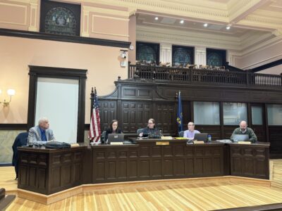
During a work session before the Douglas County Commission’s meeting on Wednesday, Lawrence-Douglas County Fire Medical Chief Rich Llewellyn gave commissioners an overview of the Kansas Forest Service’s online wildfire risk tool, known as the Kansas Wildfire Risk Explorer. The maps generated by the tool show a ring of high-risk areas in and around the city of Lawrence, and Llewellyn said it’s because densely populated areas have a higher likelihood of fires caused by human activity.
“It really makes sense,” he said.
The high risk came as a surprise to Commission Chair Patrick Kelly.
“When I think about wildfire within the city limits, I would think that it would be relatively low,” Kelly said. “But there is a lot of red within the city limits (on the map).”
Llewellyn told Kelly that there are many things that can cause fires in small fields, such as “fireworks, discarded cigarettes, or even some light shining through glass.”
The Wildfire Risk Explorer tool that Llewellyn was showing the commission is publicly accessible at https://kansaswildfirerisk.org and is designed to assist property owners and first responders with assessing their wildfire risk. It can generate a risk assessment report for entering a specific address or geographic coordinates, rating the fire risk on a scale ranging from minimal to extreme. The tool can also display other maps, such as one that shows historical fire data around the state.
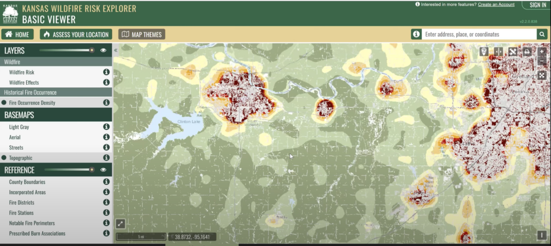
photo by: Kansas Forest Service screengrab
A wildfire risk assessment report for Douglas and Johnson counties, generated by the Kansas Wildfire Risk Explorer portal.
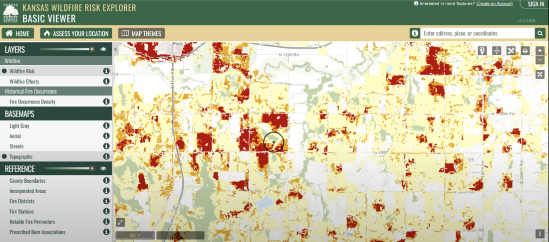
photo by: Kansas Forest Service screengrab
A zoomed-in view of an area of Douglas County displaying a wildfire risk assessment.
County Government

Hamm plans to sell landfill, recycling facility to nationwide company; Lawrence city leaders asked to consent
County commission gets first look at proposed school truancy program through criminal justice department

Douglas County begins review to identify strengths and weaknesses of zoning and land use regulations

City staff to gather feedback from Commission on whether to repeal clean energy ordinance, citing ‘unrealistic’ goals and timeline

Douglas County commissioners hire consultant to conduct review of Treatment & Recovery Center’s operations and finances