Douglas County to assess Wakarusa River Valley for conservation areas and flood risk mitigation

photo by: Contributed
Emergency personnel use rafts and boats to rescue residents in flooded homes in rural Douglas County on Aug. 1, 2019. The area received 8-10 inches of rain and severe flooding.
As urban growth spreads into the Wakarusa River Valley south of Lawrence, Douglas County will conduct an assessment of which areas to preserve in order to minimize the impact of future flooding events.
The Wakarusa River corridor mainly consists of an undeveloped floodplain along with agricultural land and rural development. Urban development has been moving along the southern boundary of Lawrence approaching K-10 highway and the Wakarusa River valley, and Douglas County is planning to work closely with a consultant to conduct a study and identify areas that should be preserved from future development with the overall goal of reducing flood risk.
The study will focus on the outlet of Clinton Lake to the confluence with the Kansas River at Eudora. The data will also be used in the county’s bigger Open Space plan, which provides guidance on conservation of natural lands and cultural sites within Douglas County. The Open Space work is currently aiming to establish collaborative conservation priorities and strategies for the Wakarusa River corridor.
As a part of the assessment, it will take a look at smaller but more frequent flood events along with larger and less common events. The data will provide an understanding of the overall flood risk with information about flooding frequency, depth and velocity.
Another area that the study will consider for flood risk in conservation areas is reviewing the natural and regulated flows of a body of water. The U.S. Army Corps of Engineers regulates the incoming flows to Clinton Lake – which is formed mainly by the Wakarusa River coming east from Shawnee County. The flood control and releases are dictated by lake elevation, with releases not allowed to exceed certain limits based on maximum flows to downstream locations such as the Wakarusa River at the U.S. 59 highway crossing and the Kansas River at De Soto.
A memo provided to county commissioners states that once the study is finished, a summary of the findings will suggest which areas should be designated as conservation areas, along with an assessment of the overall benefits of the recommendation.
As the Journal-World reported, a similar study was completed on the Washington Creek watershed. In November, county commissioners heard a presentation about its findings that take into account both existing and future development. The report highlighted a 2019 flood event that occurred after 8 to 10 inches of rain fell in eight hours and Washington Creek, which winds its way north from Lone Star Lake to the Wakarusa River, overflowed. As a result, more than 100 homes were damaged in a rural neighborhood nearby.
Zoning and Codes Director Tonya Voigt told the Journal-World via email that the study is being funded through Kansas Department of Agriculture Division of Water Resources Technical Assistance program funds and there is no cost to Douglas County for the assessment.
According to the memo, the project is expected to take six months to complete after receiving the notice to proceed, which is anticipated no later than March 2025.
Other News

Lawrence library’s board votes to adopt new master plan to serve community

Theatre Lawrence’s Youth Troupe will perform ‘Between The Lines’ musical for summer show
County leaders want to revisit expansion of detox services after partners talk through proposal
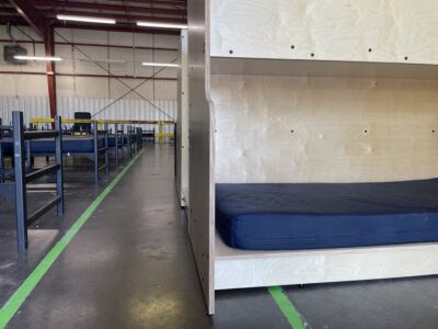
Anonymous donation lets Lawrence Community Shelter order 50 new Step Up beds; leader says it’s ‘just the start’
New partnership with Avalon Wellness & Recovery Center could expand Douglas County’s detox services