Quick flooding prompts evacuations in Manhattan

The U.S. National Weather Service predicts the Kansas River in Lawrence will crest near flood stage Friday afternoon or Saturday morning.
Topeka ? Heavy rain that quickly pushed creeks out of their banks in north-central Kansas chased hundreds of people from their homes for several hours Thursday, turning parts of the region into a maze of closed roads.
In Riley County, police ordered about 200 people to evacuate houses and apartment complexes before dawn Thursday in a low-lying area along Wildcat Creek in Manhattan. Several inches of rain that began falling Wednesday night swelled the creek and raised the Kansas River.
Flooding along Wildcat Creek isn’t unusual, but police Capt. Kurt Moldrup said Thursday’s episode was “the worst flooding that we’ve seen in this area.” The creek began receding by midday and most roads reopened, allowing residents to go home to their houses, apartments and vehicles, many of them damaged by water.
The American Red Cross opened a shelter at St. Thomas More Church, but it appeared unlikely that many people would need to stay there Thursday night.
Flood warnings were posted Thursday for parts of 21 north-central and northeastern counties as other rivers rose, the state adjutant general’s office said. Flash flood warnings that went up for high-water spots in a half-dozen counties were allowed to expire, but dozens of rural roads were closed to traffic.
The adjutant general’s office reported three families evacuated Thursday from flooded areas along Pottawatomie Creek near Louisville. Pottawatomie County ended sandbagging operations in early afternoon.
Fifteen homes in the Clay County town of Morganville were also hit by flooding, and three homes in Clay Center were evacuated, the adjutant general’s office said.
At Fort Riley, home to the Army’s 1st Infantry Division, high water reduced traffic to one lane at the Ogden gate on the east end of the post, spokesman Eric Zenk said. No other reports of high water or related issues were reported on the installation, located on the banks of the Kansas River, he said.
State Government

Douglas County’s top election official worries that mail ballots sent in now won’t arrive on time

Election workers still will be able to count mail in ballots three days after election; Kansas Supreme Court refuses to revive ban on such counting

KU’s Girod receives 2.5% raise, boosting salary to $1.025 million for the upcoming school year
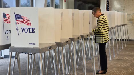
Kansas governor votes, celebrates first time in decades she’s not on the ballot

Kansas Board of Regents chooses its top academic officer to become next president and CEO of higher education system