Portion of Kansas River Levee trail near Massachusetts Street closed until spring
Rest of the trail closed as construction continues on North 2nd Street and at Bowersock Dam
A 200-foot section of the Kansas River Levee Trail is now closed, pending completion of two construction projects near the Massachusetts Street bridge.
The trail’s affected section — 100 feet on either side of the bridge — is closed to walkers, cyclists and everyone else because of work at the intersection of North Second and Locust streets, and at the Bowersock Dam.
Both projects are scheduled for completion this spring, said Megan Gilliland, a city spokeswoman.
The remainder of the levee trail remains open, in both directions.
City Government
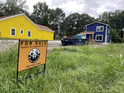
From pre-approved designs to preserving older homes, Lawrence housing study’s strategies have precedents around the U.S.
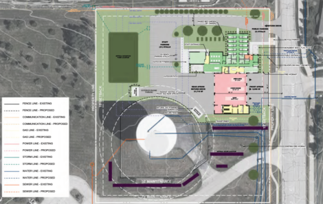
City Commission to consider nearly $1M contract for final design of Fire Station 6

Through Aug. 21, you can get credit for traffic fines in Municipal Court by donating school supplies

After tense start, meeting ends with many agreeing that city, county homelessness plan deserves closer review
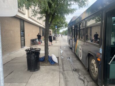
In Lawrence Transit survey, majority say they don’t feel safe at downtown bus stop across from library