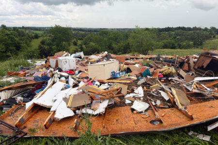
Team to study birth of hurricanes
Washington ? Twenty-one days before Hurricane Katrina made landfall at New Orleans last summer, a relatively small “wave” of turbulent air emerged from western Africa and headed out to sea.
Over the ocean, that trough of low atmospheric pressure began to shrink, and it was further diminished by a mass of dry and dusty air from a large Saharan dust storm that blew offshore at about the same time. Over the eastern and central Atlantic, the dusty cloud mingled with the tropical wave and helped keep it weak and diffuse.
But somewhere out over the Atlantic, that same atmospheric wave joined up with one or more other tropical depressions coming off Africa. Within days, the relatively small turbulence grew into the tropical cyclone that, as it crossed the ocean, became the hurricane that would devastate the Gulf Coast two weeks later.
Although many hurricanes that reach the United States are born as tropical depressions in the waters off Africa, little is known about why some peter out and others become monster hurricanes on the other side of the ocean. This is increasingly important information to have, and so a team of researchers from NASA and the National Oceanic and Atmospheric Administration (NOAA) will spend the next two months off the African coast trying to find the answer.
“These waves are pretty innocuous – lines of heavy rain with some thunderstorms,” said Jeffrey Halverson, a NASA mission scientist and professor at the University of Maryland in Baltimore County. “But about 10 percent change character as they move to sea and get rotations and start building up power. That’s the big mystery: Where does the spin come from?”
From bases in the Cape Verde Islands and in Dakar, Senegal, the researchers will track, measure and analyze some of the 60 waves that every year come off West Africa in the late summer and head toward the Caribbean and North America, carried by trade winds.
Most of the time, these weather patterns – called African easterly waves because they form over the Darfur region of Sudan or Ethiopia in East Africa – stretch 1,200 to 1,500 miles and last three to four days before they dissipate, unless they grow into something bigger. They get their initial power and instability from the difference in temperature between the very hot Sahara Desert air and the substantially cooler air along the coast of the Gulf of Guinea.
NASA has outfitted a DC-8 jet with advanced atmospheric-research instruments and will fly it through tropical waves to take a wide range of measurements. Officials said that a NASA team had studied the phenomenon in the mid-1970s but that this year’s research could be groundbreaking because of newer instruments. Sensors on the aircraft will measure the sizes and shapes of clouds and airborne particles, wind speed and direction, rainfall rates, and atmospheric temperature, pressure and relative humidity. They will also study air patterns before and after the waves move through.
National

Man pleads guilty to killing a top Minnesota Democrat and her husband
New tornadoes outside Chicago as severe storms pummel the Midwest

Feds won’t seek death penalty in plea deal with man accused of killing top Minnesota Democrat
NASA unveils astronauts to test tech for future moon landing
Social Security’ fund faces shortfall one year earlier than expected
WASHINGTON (AP) — Social Security 's retirement trust fund is projected to face a funding shortfall in 2032, a ...