Excessive rainfall leads to flood warning; rain expected off and on through Independence Day

photo by: Chris Conde/Journal-World
The Second Street underpass into North Lawrence flooded on July 1, 2024, and diverted traffic east.
Updated at 1 p.m. Monday, July 1, 2024
Douglas County, along with other communities in eastern Kansas, was under a flood warning for the first half of Monday after a bout of heavy rainfall.
Lawrence, Baldwin City, Eudora, Lone Star, Pleasant Grove and Vinland, as well as the Kansas Turnpike between mile markers 195 and 205, were all mentioned in the warning.
The National Weather Service warned of potential flooding of rivers, creeks, streams and other low-lying areas and noted that streams were continuing to rise due to excess runoff from earlier rainfall.
By 11:30 a.m. on Monday Douglas County sheriff’s deputies had worked four motorist assist calls, primarily for vehicles that were stuck in water or ditches, said George Diepenbrock, spokesperson for the sheriff’s office.
In the city, Lawrence police had worked nine motorist assist calls, in which seven of the vehicles required towing, including one vehicle that was stuck under the railroad bridge underpass on Second Street into North Lawrence, said Sgt. Drew Fennelly with the Lawrence Police Department.
Neither agency reported any injuries or crashes related to the weather.
The railroad underpass was temporarily closed to prevent other cars from driving through and traffic was diverted east through residential areas.
By noon, the Lawrence Airport recorded 2.42 inches of rain having fallen in the past six hours with an estimated 3-4 inches rain having fallen across the city, said Meteorologist Daniel Reese with the NWS in Topeka. The precipitation brought Lawrence to 19.57 inches, about an inch and a half above the average rainfall total, 18.06, for the year to date, he said.
Lawrence was expected to dry out a bit in the afternoon into the evening with a low of 77 degrees overnight, Reese said.
Rain along with a cold front is expected to return around 1 p.m. on Tuesday, mixing with a heat advisory of temperatures into the upper 90s, which will create a low chance for tornadoes, but residents should mostly be prepared for strong winds and hail, Reese said. Similar conditions are expected on Thursday for Independence Day, he said.
“It’s one of those days that if you are outside you want to take it easy and stay hydrated,” Reese said of Tuesday’s heat.
Rain is expected throughout the rest of the week and into the weekend, Reese said.
“We have an active pattern and will expect a cold front every couple of days. As each of those moves through we will have a chance for storms,” Reese said.

photo by: Douglas County Sheriff’s Office
A car went off the roadway into a flooded ditch on Monday, July 1, 2024, south of Eudora.

photo by: Douglas County Sheriff’s Office
Flooded roadways south of Eudora on Monday, July 1, 2024.
Other News

Here’s everything Lawrence families need to know before the 2026-2027 school year starts

Go, See, Do: County fair, farmers markets, theater and more
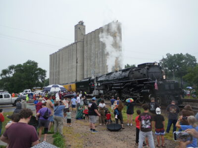
Lawrence’s train enthusiasts turn out in the rain to greet beloved ‘Big Boy’ locomotive
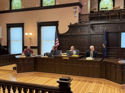
Douglas County commissioners review five-year capital plan as major spending looms

Granada Theater set to host community celebration in August celebrating bond between Algeria and Lawrence