A cycling path through Lawrence and Douglas County joins national bicycle route system

photo by: Josie Heimsoth/Journal-World
An access point of the Lawrence Loop by Rock Chalk Park is pictured on Sunday, Dec. 22, 2024.
A new bicycle route spanning almost 300 miles passes through many counties, including Douglas, joining a developing national network of bicycle routes connecting urban and rural communities via signed roads and trails.
In a mission to establish the largest public bike route in the world, the American Cycling Association added four new routes this fall in three states – with one in Indiana, one in Missouri and two in Kansas. One of the Kansas routes, USBR 55, passes through Lawrence and other parts of Douglas County. It uses the Lawrence Loop, and it passes by Wells Overlook Park, according to a release from Douglas County.
“We’re delighted that there’s a recognition of the role of bikeways in providing access not only to recreation, but to transportation,” Chris Tilden, the chair of Friends of Lawrence Area Trails and a senior associate researcher at the University of Kansas, said.
The route begins in Irving at the Kansas/Nebraska state line and continues south before it ends in Caney at the Kansas/Oklahoma state line. The existing 288.4-mile route uses a mix of highways, local roads and crushed limestone trail. Approximately 47 miles of the route are unpaved, taking advantage of the Prairie Spirit Trail, consisting of well-maintained crushed limestone, that connects Ottawa to Humboldt.

photo by: Josie Heimsoth/Journal-World
A part of the Lawrence Loop is pictured Sunday, December 22, 2024.
Along the route, there will be bike shops, plenty of dining and lodging options, including a basecamp in Humboldt with tiny cabins and camping spots. Additionally, there will be casual and fine dining restaurants, happy hours, breweries, cafes and more.
The other route in Kansas is USBR 50, which also begins in Irving. It mostly follows Kansas Highway 7 with a stopover in Troy before continuing south to end in Atchison on the U.S. Highway 59 bridge. USBR 50 overlaps with USBR 55 that continues south to the Kansas/Oklahoma border. Cyclists can stop at the Four State Lookout in White Cloud, Kansas, to take in views of Nebraska, Iowa, Missouri, Kansas and the Missouri River.
But there’s a local effort to expand bike and walking trails around Lawrence, specifically with a 22-mile loop for walking and cycling. Advocates from the Friends of Lawrence Area Trails say this project is a long time coming.
“Recognizing the (Lawrence) Loop is an important part of this newly recognized bike trail,” Tilden said. ” … Hundreds of people in Lawrence, both residents and visitors, utilize the loop on an ongoing basis. The loop is a wonderful connector as our other local trails connect (to it) and connect people to various assets in our community.”
As the Journal-World reported, the Lawrence Loop will be a network of 22 miles of continuous, paved walking and biking paths around the city. Currently, 18 miles of the trail are finished, but there are three missing segments with $3.6 million set aside to complete them in the city’s Capital Improvement Plan.
“This new recognition of the loop is a small part of this large designated bikeway network through the Midwest,” Tilden said. “I think it encourages us to continue to press for even greater development of our local trail system.”
Other News

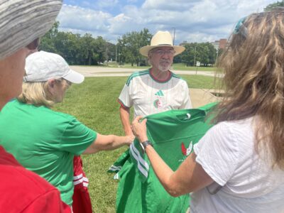
Hundreds of Algerian fans rally on KU’s campus ahead of final group stage match in Kansas City
PHOTOS: Fans gather at Algerian flag earthwork to celebrate World Cup team

Lawrence’s embrace of Algerian fans is international news; leaders hope this bond continues after the World Cup
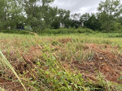
Mowing at Prairie Park’s remnant prairie is part of a strategy to control noxious weeds; city, restoration team say it’s the least damaging option
Community invited to celebration, group drone photo at Algerian flag earthwork on KU campus