Remove politics, and redistricting map falls in line
Reporter takes swing at drawing new boundaries

The Legislature and Gov. Sam Brownback, mired in political wrangling, failed to come to agreement on new district lines so the task has fallen to a three-judge panel in Kansas City, Kan. Here is a proposal by reporter Scott Rothschild that tries to prevent splitting of major cities, and keeps population deviations to minimum.
Kansas has a simple shape and only four congressional districts, so how difficult can it be to draw a redistricting map?
Apparently, pretty difficult. Kansas is the last state in the nation to redraw its political boundaries based on population changes over the past 10 years.
The Legislature and Gov. Sam Brownback couldn’t come to an agreement after months of political wrangling, and so now a three-judge panel will decide the matter.
Having watched this fight up close during the recently completed 2012 legislative session, I decided to try my hand.
My attempt was with the congressional map because the state Senate has 40 districts and the House, 125 districts, and would take more time than I had. The major fight over Senate redistricting has been between moderate and conservative Republicans. In addition, the 10 State of Education districts will be determined by the final Senate map.
In congressional redistricting, the conservative House has produced plans that would split up Democratic voting strength, first by trying to remove Wyandotte County from the 3rd Congressional District and placing it in the 1st, then by swooping into east Topeka and removing it from the 2nd and placing it in the 1st, and finally by curling over into east Lawrence and placing it in the 1st.
See a pattern here? The 1st is one of the largest districts, area-wise, in the nation and one of the most conservative, too.
So, with the help of Corey Carnahan, the mapping computer software expert at the Kansas Legislative Research Department, I drew a congressional map.
It took about 30 minutes, and then Carnahan said the fun part was that I got to name the map.
Legislators had introduced at least 30 congressional maps during the session. One legislator named maps after his nieces and nephews; others received Kansas-related names such as Tallgrass 1, Free Willie, Sunflower, Eisenhower, etc.
I named mine after my childhood baseball hero: Mickey Mantle. In addition, I thought Mantle was appropriate as a symbol of nonpartisanship. He was a switch-hitter, batting with power from the left and right.
The No. 1 goal of drawing districts is to have them as equal in population as possible so that everyone’s vote has equal weight. Based on Kansas’ population, the four congressional districts should each have 713,280 people.
That means the district boundaries had to move because since the last time lines were drawn in 2002, the 1st District, which covers all of western Kansas and much of central Kansas, was 57,970 people under the ideal size. Meanwhile, the 3rd, which includes Johnson, Wyandotte and eastern Douglas counties, was 54,289 over the ideal size. The Wichita-based 4th and the 2nd, which includes western Douglas County, also needed adjustments but not as much.
Another major rule in redistricting is to try to maintain communities of interest within the district. Putting east Lawrence in a mostly rural 1st would seem to run counter to that idea.
And other major guidelines are to try to make the districts as compact as possible and with as little shifting as possible.
My cure for the 1st District’s underpopulation was simply to put Riley County in the district.
Officials from Riley County, which includes the city of Manhattan, and House Speaker Mike O’Neal, R-Hutchinson, do not like this idea, but their stated reasons do not fall within the redistricting guidelines.
Essentially, their argument has been that the current representative, freshman Tim Huelskamp, an ultra-conservative Republican, is not on good terms with U.S. House Speaker John Boehner, also a Republican, and that could hurt Kansas as it seeks funding for the federal bioterrorism lab that is supposed to be built in Manhattan. Huelskamp has denied there is any rift between Boehner and himself. The Riley County advocates want to stay in the 2nd, represented by U.S. Rep. Lynn Jenkins, R-Topeka, and she has stated she wants to keep Riley County, too.
But Huelskamp, naturally, would rather not have a portion of Lawrence in his district.
For me, putting Riley County in the 1st solved several problems. It gave the 1st the needed population, and it is snug up to the 1st now and seemed like a natural march toward more population.
After making several other adjustments, my map was pretty much right on the money for population with the largest deviation being the 3rd, which was four people over the ideal size. And the map avoided splitting any major city. It puts Douglas County wholly in the 2nd and makes the 3rd a Johnson County and Wyandotte County district with a bit of Miami County.
In the end, these districts could be drawn any number of ways, and political considerations can seep into every boundary change.
The old saying is that redistricting is the one time that candidates get to pick their voters, instead of the other way around. But this time, Kansas’ redistricting lines most likely will be set by the courts with testimony starting Tuesday before the three-judge panel.
City Government
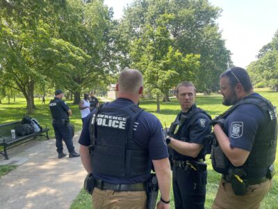
These officers play many roles on downtown patrol in Lawrence, and they don’t want to see it cut
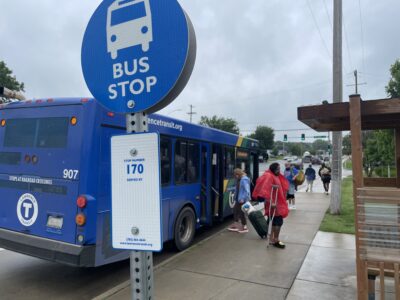
Lawrence Transit’s sales tax is ‘critical,’ its director says, and an increase could be on the ballot in November
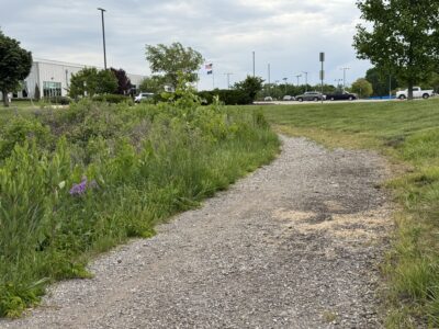
New question arises around Rock Chalk Park trails: Why are nearly 2 miles of them missing?
City of Lawrence enters negotiations with a city manager candidate; announcement could come next week
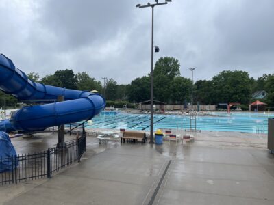
Lawrence Outdoor Aquatic Center’s opening delayed until June 1 as renovation work continues