NWS cancels severe thunderstorm watch for Douglas County early
The U.S. National Weather Service issued a severe thunderstorm watch for parts of Kansas, including Douglas County, Wednesday, May 11, 2011.

The U.S. National Weather Service placed most of Kansas under a slight risk for severe weather Wednesday, May 11, 2011.
8 p.m. update
The National Weather Service in Topeka has canceled the severe thunderstorm watch for Douglas County early.
Lightning and thunder highlighted the weather that moved through Lawrence but rainfall was minimal.
4:18 p.m. update
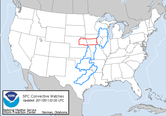
The severe thunderstorm watch for Douglas County has been extended until 10 p.m. Wednesday, according to the National Weather Service in Topeka.
Thunderstorms will develop across northeast Kansas Wednesday afternoon and evening. The primary threats with these storms will be hail and strong winds.
12:19 p.m. update
The NWS has issued a severe thunderstorm watch for Douglas County effective until 5 p.m. Wednesday.
Most of northeast and central Kansas is part of the watch. Thunderstorms are expected to move through the Lawrence area sometime Wednesday afternoon.
6:39 a.m. update
Most of Kansas is under a slight risk for severe weather Wednesday, with the highest risk for tornadoes being west of Topeka between Council Grove and Marysville, according to the U.S. National Weather Service.
Scattered thunderstorms are possible in the morning, but a round of stronger thunderstorms is expected to move through northeast Kansas later in the afternoon.
In the Lawrence area, the primary threats from these storms will likely be large hail and strong wind gusts.
The NWS predicts thunderstorms will remain in the area through late Wednesday evening into Thursday morning.
Check back with LJWorld.com for updates.