Map project to study aquifer in western Kansas
Garden City ? A geologic mapping project to begin this summer in Haskell County will provide a better and more accurate look at the availability of aquifer water in the region, university researchers say.
The Kansas Geological Survey, based at Kansas University, has received funding from the U.S. Geological Survey for mapping projects in seven Kansas counties, including Haskell, and test drilling in the northeast corner of the county could begin as early as June 1, said KU geologist Greg Ludvigson.
Because Haskell County has experienced significant water-level declines in the underlying High Plains Aquifer, also known as the Ogallala, the information will be especially useful in planning for future water use; the vast but shallow aquifer is the source of nearly all municipal and irrigation water in the region and covers nearly eight states.
“The area is under severe stress, and water levels have been dropping very fast, which could create conflicts over water use,” Ludvigson said. “There’s a dire need for (3-D mapping) to be done throughout the High Plains, but this is just the beginning.”
The KU geologist added that adequate funding has been a barrier to collecting updated information about the aquifer’s characteristics, and the planned project that could take between three and five years to complete is “long overdue.”
The $221,000 U.S. Geological Survey awards also will support ongoing geologic mapping in Reno, McPherson, Harvey and Morris counties, and new projects in Jefferson and Atchison counties.
The counties also were chosen because of environmental and cultural changes, such as industrial and residential growth, expanding transportation infrastructure, geologic hazards and declines in water quantity or quality.
Geologic maps depict rock layers and unconsolidated materials, such as sand and gravel, at the surface or just beneath the soil and vegetation. And to supplement the surface maps in those counties, researchers will drill into underground rock layers and create a 3-D illustration of the subsurface based on their findings.
Last mapped in the 1940s, Harvey, Reno and McPherson counties are in a developing corridor north and west of Wichita where demand for water is on the rise and saltwater contamination threatens the region’s ground water supply, according to the Kansas Geological Survey.
Land subsidence in Reno County caused by dissolution of underground salt deposits also is a concern. Morris County, in the Flint Hills, is just south of the expanding Fort Riley-Manhattan region and has extensive limestone resources for building stones and aggregates.
In addition, in the northeast part of the state, increased development in Jefferson, Atchison and surrounding counties has driven up demand for groundwater in glacially derived deposits.
When completed, the maps will be available to the public. More information about Kansas Geological Survey county maps and other publications is available at www.kgs.ku.edu.
State Government

‘If it ain’t broke, don’t fix it’: Retired Judge Sally Pokorny tells residents why she opposes electing Supreme Court justices
KU professors would be limited in how they could present the idea of systemic racism in future classes
State legislators push back against federal energy regulators ending competitive bids
TOPEKA — Two Kansas legislators asked federal energy regulators to ensure competitive bidding occurs on ...
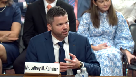
Senate confirms 1st of 3 Kansas nominees to U.S. District Court
Corporate income tax collections falling sharply in Kansas; Republican, Democratic leaders disagree on what it means
TOPEKA — Corporate income tax collections in Kansas have almost halved since last year, while other sources trend ...
Candidate’s campaign manager created website with documents used to attack rival
TOPEKA — Kansas U.S. Senate candidate Patrick Schmidt’s campaign manager left his digital footprint on ...