City’s Web site now includes variety of detailed maps
Images include bike paths, traffic signals, street conditions
Go ahead. Bryce Hirschman dares you to count all the manholes in Lawrence.
It took city crews about three years to count all 8,912 of them. Now, it should take anyone with a computer and an Internet connection just a couple of minutes and a few keystrokes.
Hirschman, the city’s Geographic Information Systems coordinator, has led a City Hall effort to build a new section on the city’s Web site that allows anyone to access very detailed GIS maps of the city.
“We think this will provide a good way to watch things grow in the city,” Hirschman said. “It provides a real ringside seat.”
The new section is on the city’s Web site at www.lawrenceks.org.
In addition to manholes – which admittedly may not be the topic most on the mind of residents – the site also provides maps on every roundabout in the community, bicycle paths, bus shelters, fire hydrants, parks and traffic signals. In total, the new site has 55 different categories, with each category having subcategories.
The site also has functions that go beyond just counting. The site and its data can be used to look at property plats, which will show where property ownership lines are. There’s a section that allows people to view the average traffic volume on any stretch of city street, and users also can look at maps showing the condition of all city streets and sidewalks. Other less technical uses include a map that shows all the different ZIP code areas of the city, residential trash pickup routes and areas that have been deemed flood hazards.
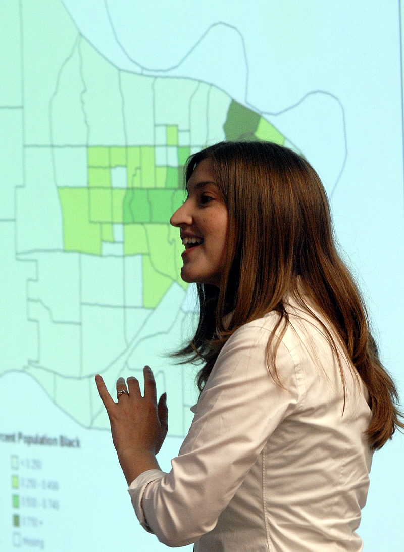
Elizabeth Miklya Legerski, a Kansas University graduate teaching assistant in the sociology department, explains her research project, Mapping
Also on the city site are aerial maps of the city dating back to 1993, which provides users a chance to see how the actual number of structures and buildings in the city has grown over the years.
The explosion of GIS information on the city’s Web site is part of a growing awareness nationally of what GIS technology can accomplish, several GIS researchers at Kansas University said. KU had its fifth annual GIS Day Symposium on Wednesday.
Joel Plummer, a doctoral student in KU’s department of geography, said GIS technology is subtly becoming a larger part of people’s daily lives. For example, when national retailers ask for your ZIP code, they are inputting that data into GIS systems that map where their customers are from.
Plummer, though, said some of the more exciting advances are happening behind the sciences.
“Being able to predict what a place will look like if you change something,” Plummer said. “You can see what it would look like if you cut down this forest, you can see what would happen if you built a highway through an area. You can see these things without really doing them.”
Lisa Patterson, communications coordinator for the city, said most of the costs to put the new information on the city’s Web site was in staff time. The city previously had a small section on its Web site devoted to GIS maps, but it was about a quarter of the size of the new section.
Patterson said costs to put the information on the Web site weren’t much because the city already was gathering all the data anyway as part of the planning process that all the various city departments conduct.
Here’s a complete list of topics that can be mapped on the city’s new GIS section of its Web site at www.lawrenceks.org:
¢ aerial photography
¢ bike paths
¢ bus routes
¢ bus shelters
¢ city limits
¢ storm sewer channels
¢ contours
¢ storm sewer culverts
¢ Douglas County limits
¢ flood hazard area
¢ fire hydrants
¢ highways
¢ historic environs
¢ land use designations
¢ manholes
¢ neighborhoods
¢ parcels
¢ parks
¢ pavement condition index
¢ plats
¢ pump stations
¢ railroads
¢ roundabouts
¢ sanitary sewer lines
¢ school sites
¢ school district boundaries
¢ sidewalk conditions
¢ traffic signal locations
¢ storm sewer points
¢ storm pipes
¢ storm sewer streams
¢ street locations
¢ traffic calming circles
¢ traffic counts
¢ residential trash pickup routes
¢ truck routes
¢ university locations
¢ urban growth areas
¢ bodies of water
¢ city water lines
¢ watershed areas
¢ ZIP codes
¢ zoning maps
City Government

Developer seeks incentive from City of Lawrence to build 131 units of housing near Wakarusa and Queens

Lawrence city leaders will consider whether to keep Community Building open, make 2 other rec centers free to access

A STAR Bond application raises questions for city leaders about Costco and housing west of the SLT

Soccer gear honoring Lawrence history’s all-star team is now on sale as part of city’s public art exhibition

To honor public servants, Lawrence’s July 4 celebration will have a whole gallery of their photos on display; submissions open now
